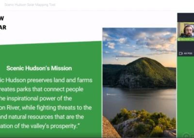
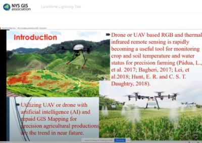
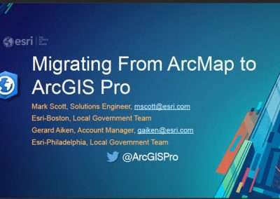
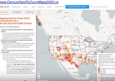
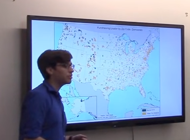
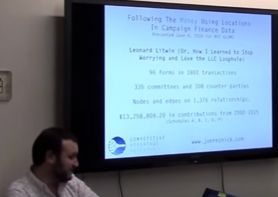
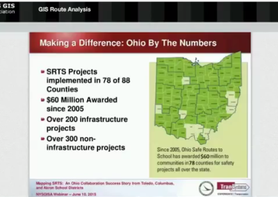
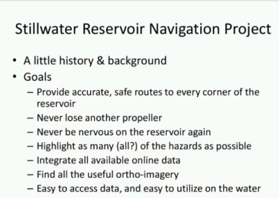
Professional Development Resources Other Training Resources 2024 Community College Internationalization Fellowship Program 2023 Mapping with R 2022 Meeting Workforce Needs with Virtual GIST (Geospatial Information Science Technology) 2021 Process of Applying for the GISP Certificate Scenic Hudson’s Solar Mapping Tool: GIS to Support a Renewable Energy Future for the Hudson Valley NYS Open GIS Parcel Data Geospatial Modeling of Archaeological Site Potential 2020 Soil Moisture Monitoring in a Vineyard Getting to Know the Mid-Atlantic Ocean Portal Workshop: Use of Precision Location Data To Support COVID 19 DECinfo Webinar 2019 Migrating from ArcMap to ArcPro Mapping Hard to Count Communities for a Fair and Accurate 2020 Census New Datums in 2022 – Replacing NAD 83 and NAVD 88 (some audio and video issues) Building Next-Generation Mapping Applications with Open Source Spatial Tools 2018 Cool New GIS Tools and Data from the NYS GIS Program Office Chesapeake Bay High-Resolution Land Cover and Land Use Program Presentation Skills: How to Handle (Almost) Anything Hazard Mitigation and GIS Mapping Tech in Public Safety Integrating Geospatial Technologies into Higher Education 3D and BIM in the ArcGIS platform GIS Data Sources You Never Knew GISMO NYC Meeting June 20, 2018 Featuring Amanda Cruz (NYC Dept of Finance) ArcGIS Pro. The Good, the Bad, and the Ugly 2017 GeoTech Model Course Drones – Should you Believe the Hype WebGIS Data Collection – When to use Collector, Survey123, or web apps to capture information UAVs: Challenging the Legal and Policy Framework GISP – The Road to and Through an Exam GreenInfo Network Crafting Effective Presentations 2016 GIS & NYC Elections (Part 3 of 3) GIS & NYC Elections (Part 2 of 3) GIS & NYC Elections (Part 1 of 3) 2015 Mapping SRTS: An Ohio Collaboration Success Story from Toledo, Columbus, and Akron School Districts Leveraging Mobile and the Cloud in GIS GIS Route Analysis: Applications for Safe Routes to School and Bike Sharing in NYC Stillwater Reservoir Navigation Mapping GISMO 25th Anniversary Agency GIS Forum Archived Resources