We are the
NYS GIS
Association


About Us

The NYS GIS Association represents the interests of the entire geospatial community within NY.
Calendar
![]()
Upcoming events and meetings within the New York geospatial community.
Membership Drive 2025
![]()
Is your NYS GIS Association Membership up to date?
NYS GIS Association News

Upcoming Professional Development Events!! ALERT!!
The Professional Development Committee will be celebrating GIS Day with two events this November. November 13, 2020, at 12:30 pm: Lunchtime Lightning Talk by Tao Tang from the University of Buffalo titled "Surface moisture monitoring and mapping in a vineyard in Erie...
Update to 2015 Webinar Posted
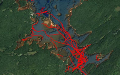
One of our webinar presenters from 2015 has updated his work on the Stillwater Reservoir in the western Adirondacks: Nathan Vary, an electrical engineer for the FAA working in their Wide Area Augmentation System (WASS) department out of Atlantic City, NJ has taken on...

Thanks for attending! Virtual Annual Mtg is a Wrap!
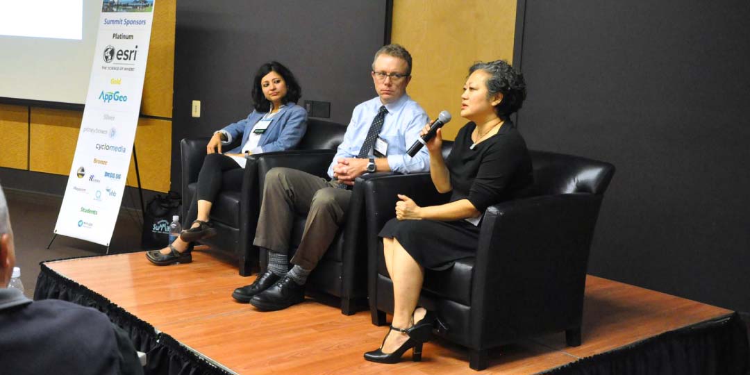
Although we would have preferred to be together at our usual venue for the Geospatial Summit, our Board successfully brought us together virtually. We were separated by space but still invigorated by our colleagues and our shared enthusiasm for each others' innovative...
Professional Development Opportunity
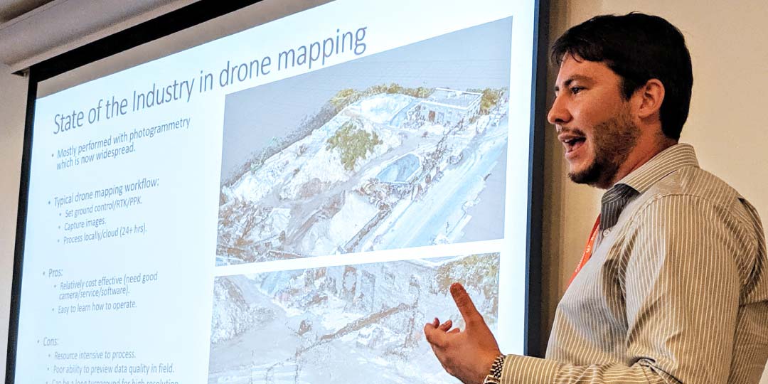
The Professional Development Committee is hosting monthly webinars on GIS & Drones, Predictive Modeling, Remote Sensing & LiDAR, and GIS for Kids. The first webinar is scheduled for 13 November! Click the link below to learn more and participate....

eSpatially – D.I.Y MS4: Erie County
The latest post from NYS GIS Association member Sam Wear, “D.I.Y MS4: Erie County”, posted September 30, 2020, is available on his website eSpatially New York. "Built in ArcGIS Online with Web AppBuilder the Coalition-wide MS4 application includes over 2,237 miles of...
Regional Committee Video on Use of GIS for COVID Operations Now Available
On August 19th the Regional Committee of the NYS GIS Association organized a webinar to highlight the use of GIS for COVID related operations. The webinar focused on the use of geocoded, precision location data to map and analyze COVID positive cases and contact...
Subscribe to Our Weekly News Summary
Join our mailing list to receive the latest news and updates from the NYS GIS Association.