Related Posts


The latest post from NYS GIS Association member Sam Wear, “D.I.Y MS4: Erie County”, posted September 30, 2020, is available on his website eSpatially New York.
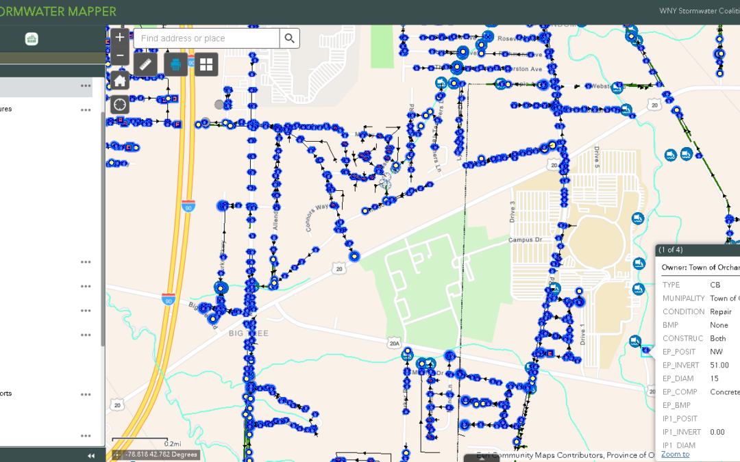
“Built in ArcGIS Online with Web AppBuilder the Coalition-wide MS4 application includes over 2,237 miles of storm piping mapped, 473 miles of ditching, 67,196 catch basins 18, 611 manholes, and thousands of other features such as culverts, downspouts, ponds, and other types of pipes. On a smaller scale, even chemical storage locations, fuel pumps and tanks, outdoor washing stations, salt storage were also inventoried.”
You can also follow Sam on Twitter: @eSpatiallyNY