Hello,
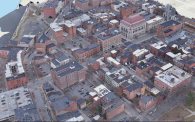
The New York State GIS Program Office (NYSGPO) is pleased to announce the release of a web service that hosts over 3 million building footprints across 30 counties made available by the New York State Energy Research and Development Authority (NYSERDA). NYSERDA has worked closely with Columbia University’s Center for International Earth Science Information Network (CIESIN) to generate these building footprints. For more information on the program that made these footprints available please visit http://fidss.ciesin.columbia.edu/home and to directly download the footprints by county visit http://fidss.ciesin.columbia.edu/building_data_adaptation.
The NYSGPO has created a Map Service and a Feature Service to load these building footprints into your GIS Software. Each footprint contains many attributes including the source, date, 100/500 year flood impact as well as county building footprint download links. These web services are hosted by NYS ITS because we believe they are useful, any questions regarding the services can be directed to me. NYS ITS is not responsible for the data quality that feed the services, users should contact the sources of the data with questions or comments.
- Feature Service – https://gisservices.its.ny.gov/arcgis/rest/services/BuildingFootprints/FeatureServer
- Map Service – https://gisservices.its.ny.gov/arcgis/rest/services/BuildingFootprints/MapServer
We will continue to work with NYSERDA/CIESIN as more footprints become available as well as incorporating the publicly available Microsoft building footprints.
Thank You,
Jeff Langella
Jeffrey Langella
GIS Program Office
NYS Office of Information Technology Services
- Averell Harriman State Office Campus
1220 Washington Avenue, Bldg. 5 – Floor 1
Albany, NY 12226
Phone (518)242-5037
Fax (518) 322-4976


