NYS GIS Association News
NYS GIS Association website has a new look
The NYS GIS Association is pleased to announce that our new website is live. Please be patient as we update our social media outlets and replace old images and icons on the website.
Coming soon, a new look for the NYS GIS Association!

National Pandemic GIS Task Force Strategy & Action Plan Document
Good afternoon, To keep you updated on the efforts of the Pandemic GIS Task Force, I want to share with you this brief National Pandemic GIS Task Force Strategy & Action Plan document:...
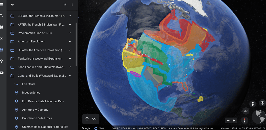
eSpatially – Google Earth in the Classrooms
The latest post from NYS GIS Association member Sam Wear, “Google Earth in the Classrooms”, posted June 10, 2020, is available on his website eSpatially New York. "Her 7th grade social studies class uses Google Earth to augment the teaching of the scholastic American...

eSpatially – 10 Questions: Larry Spraker
The latest post from NYS GIS Association member Sam Wear, “10 Questions: Larry Spraker”, posted May 18, 2020, is available on his website eSpatially New York. "...I went to my advisor and asked “What would be a good major with a Computer Science minor?”. He listed a...
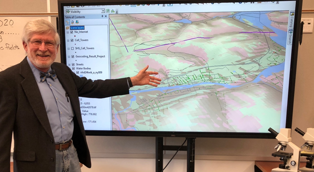
Salamanca CCSD NY Using GIS to Deliver Internet Access to Students
Press Release: HOW ONE SCHOOL DISTRICT USED GIS TECHNOLOGY TO DELIVER HOME INTERNET TO REMOTE STUDENTS SALAMANCA, NY. – What started as a loosely structured “skunkworks project,” for Salamanca High School’s computer science teacher, Dr. Graham Hayes, turned into an...

Technology SWAT Team to Support New York COVID-19 Response
New York State is launching technology-driven products with leading global tech companies to accelerate and amplify our response to COVID-19. We are looking for impactful solutions and skilled tech employees to help. Individuals from leading global technology...
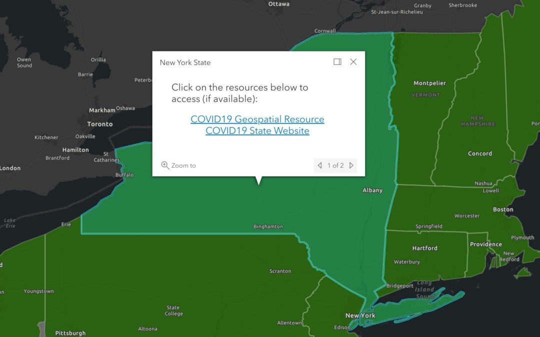
COVID-19 State-Level GIS Resource Inventory Map
Map-based links to most states' COVID-19 GIS resources: COVID-19 State-Level GIS Inventory Map
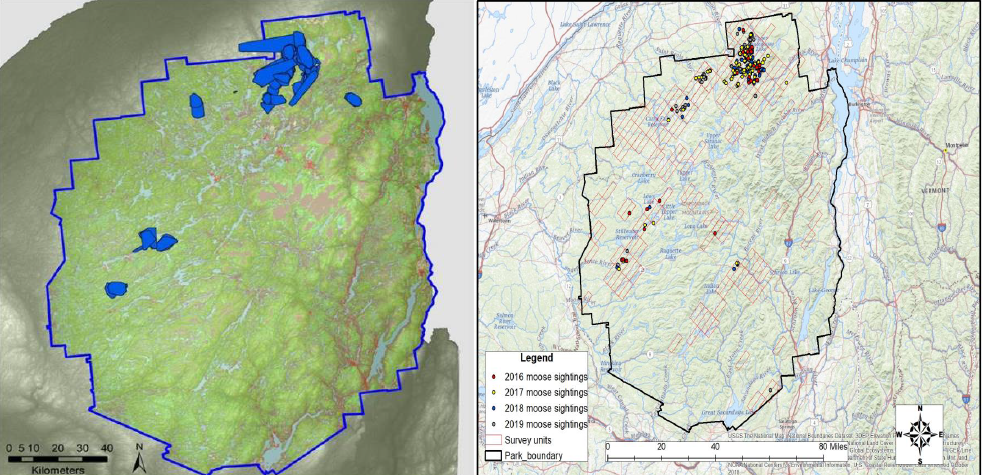
eSpatially Game Time: Mapping Moose in New York State
The latest post from NYS GIS Association member Sam Wear, “Game Time: Mapping Moose in New York State”, posted April 16, 2020, is available on his website eSpatially New York. "Physical counts and observations of the moose augment Kramer’s work in building predictive...

eSpatially – Geospatial Business Spotlight: Bergmann (GIS Services and Solutions)
The latest post from NYS GIS Association member Sam Wear, “Geospatial Business Spotlight: Bergmann (GIS Services and Solutions)”, posted March 19, 2020, is available on his website eSpatially New York. "Bergmann’s rich portfolio of work features everything from...
 Open Source GIS
- New Open Basemaps for Austria 07/26/2026
- Belém, Salzburg, and onwards 07/11/2026
- Notebooks in QGIS 01/10/2026