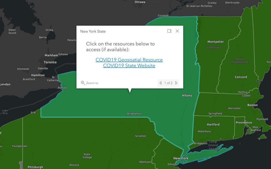
COVID-19 State-Level GIS Resource Inventory Map Apr 24, 2020 ‹ Previous Post eSpatially Game Time: Mapping Moose in New York State Next Post › Technology SWAT Team to Support New York COVID-19 Response Related Posts GISCI Announces Exam Dates: 3 -10 June 2023 Annual Meeting Minutes Available for Review! eSpatially - Streamlining the New York CEQR Review Application with Geospatial Tools Map-based links to most states’ COVID-19 GIS resources: COVID-19 State-Level GIS Inventory Map