
We are the
NYS GIS
Association









About Us

The NYS GIS Association represents the interests of the entire geospatial community within NY.
GeoSummit 2026

October 6-7, 2026, at The Lodge, Skaneateles, New York
Membership Drive 2026-2027

Is your NYS GIS Association Membership up to date?
NYS GIS Association News
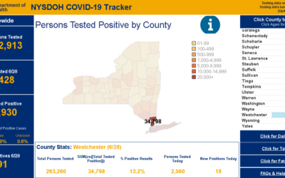
eSpatially – COVID Era Geospatial Applications to Support Empire State Communities
The latest post from NYS GIS Association member Sam Wear, “COVID Era Geospatial Applications to Support Empire State Communities”, posted July 1, 2020, is available on his website eSpatially New York. "NYS Department of Health (DOH) COVID-19 reporting has improved...
NYS GIS Association website has a new look
The NYS GIS Association is pleased to announce that our new website is live. Please be patient as we update our social media outlets and replace old images and icons on the website.
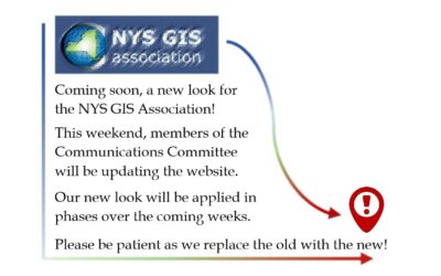
Coming soon, a new look for the NYS GIS Association!

National Pandemic GIS Task Force Strategy & Action Plan Document
Good afternoon, To keep you updated on the efforts of the Pandemic GIS Task Force, I want to share with you this brief National Pandemic GIS Task Force Strategy & Action Plan document:...
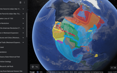
eSpatially – Google Earth in the Classrooms
The latest post from NYS GIS Association member Sam Wear, “Google Earth in the Classrooms”, posted June 10, 2020, is available on his website eSpatially New York. "Her 7th grade social studies class uses Google Earth to augment the teaching of the scholastic American...
eSpatially – 10 Questions: Larry Spraker
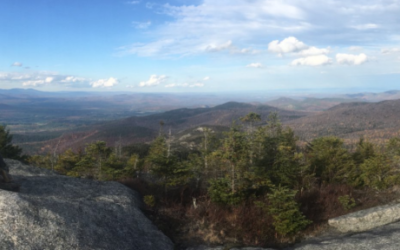
The latest post from NYS GIS Association member Sam Wear, “10 Questions: Larry Spraker”, posted May 18, 2020, is available on his website eSpatially New York. "...I went to my advisor and asked “What would be a good major with a Computer Science minor?”. He listed a...
Subscribe to Our Weekly News Summary
Join our mailing list to receive the latest news and updates from the NYS GIS Association.