Related Posts


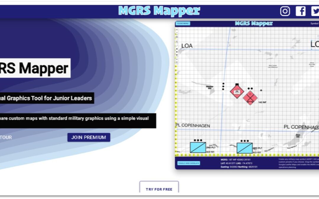
The latest post from NYS GIS Association member Sam Wear, “MGRS Mapper: Software for Military Operations Mapping”, posted November 24, 2020, is available on his website eSpatially New York.
“Developed entirely with JavaScript the application enables users to easily overlay the MGRS grid atop of a Google base map (other base maps are available as well) and provides Premium users access to the latest standard in military symbols as part of ADP 1-02 (Army Doctrine Publication) which contains over 737 unique symbols used by many branches of the military.”
You can also follow Sam on Twitter: @eSpatiallyNY