Sep 12, 2020
On August 19th the Regional Committee of the NYS GIS Association organized a webinar to highlight the use of GIS for COVID related operations. The webinar focused on the use of geocoded, precision location data to map and analyze COVID positive cases and contact...
Sep 3, 2020
NEW Draft NSDI Strategic Plan Released for Public Comment (August 27, 2020) The Federal Geographic Data Committee (FGDC) is seeking public comment on the draft strategic plan for the National Spatial Data Infrastructure (NSDI). Comments are due by September 17, 2020....
Sep 1, 2020
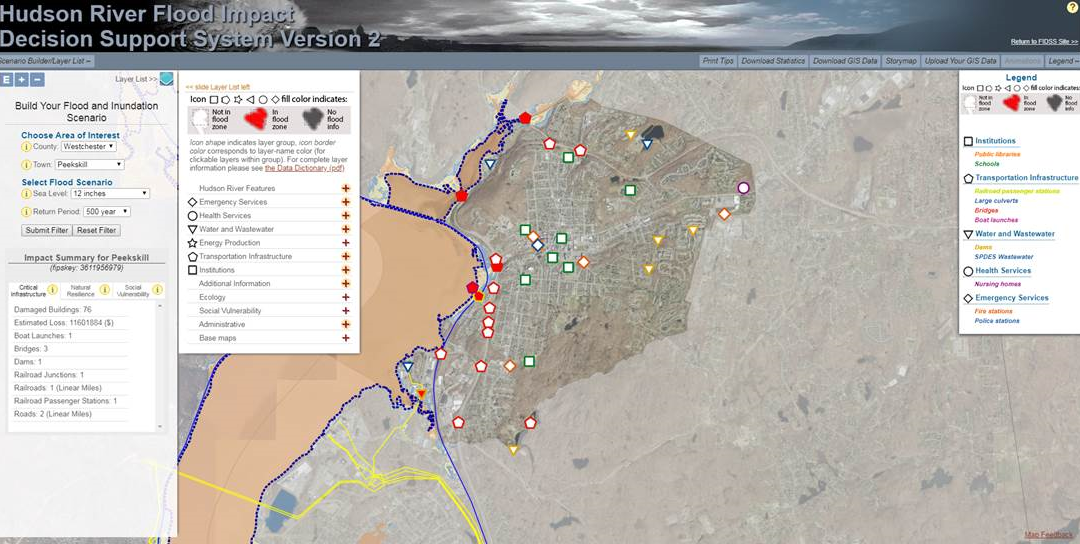
The latest post from NYS GIS Association member Sam Wear, “Focus on Hudson River Flooding Impacts”, posted August 26, 2020, is available on his website eSpatially New York. “The Hudson River Flood Impact Decision Support System (HRFIDSS) is an online mapping...
Aug 26, 2020
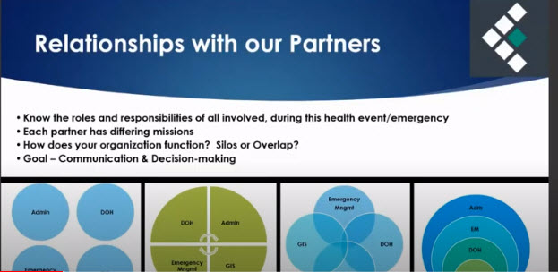
We have all endured the most extraordinary circumstances over the past few months. Every aspect of our lives has been impacted. Let’s bring a positive to these trying times and showcase some of the incredible GIS work that you or your colleagues have been doing to...
Aug 1, 2020
Don’t forget, you can still respond to the 2020 Census online at 2020census.gov by using a desktop computer, laptop, smartphone, or tablet if you haven’t done so already. Encourage friends, family, and colleagues to complete the census form, which can be done...