
NYS GIS Association News

Technology SWAT Team to Support New York COVID-19 Response
New York State is launching technology-driven products with leading global tech companies to accelerate and amplify our response to COVID-19. We are looking for impactful solutions and skilled tech employees to help. Individuals from leading global technology...
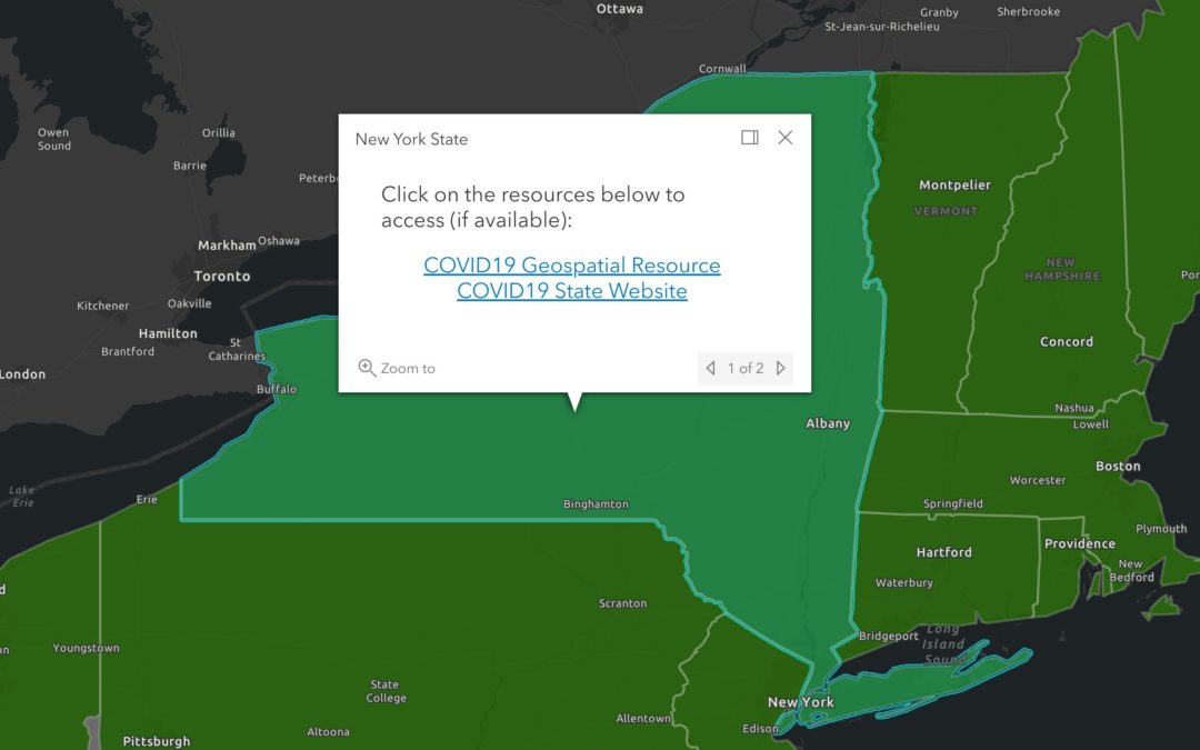
COVID-19 State-Level GIS Resource Inventory Map
Map-based links to most states' COVID-19 GIS resources: COVID-19 State-Level GIS Inventory Map
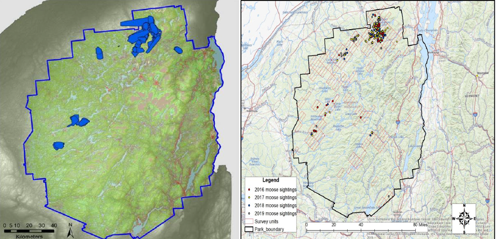
eSpatially Game Time: Mapping Moose in New York State
The latest post from NYS GIS Association member Sam Wear, “Game Time: Mapping Moose in New York State”, posted April 16, 2020, is available on his website eSpatially New York. "Physical counts and observations of the moose augment Kramer’s work in building predictive...

eSpatially – Geospatial Business Spotlight: Bergmann (GIS Services and Solutions)
The latest post from NYS GIS Association member Sam Wear, “Geospatial Business Spotlight: Bergmann (GIS Services and Solutions)”, posted March 19, 2020, is available on his website eSpatially New York. "Bergmann’s rich portfolio of work features everything from...
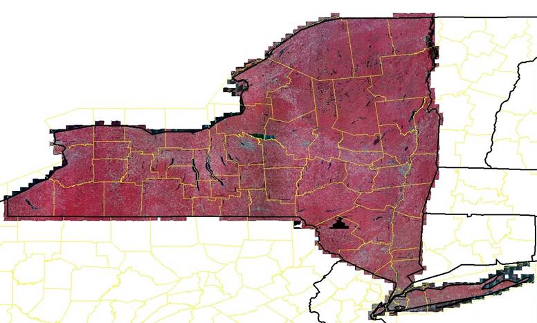
NAIP 2019 Orthoimagery Now Available for Download
NAIP 2019 Leaf-On Orthoimagery covering all of New York State is now available for download at https://nrcs.app.box.com/v/naip/folder/105431049956 Natural color and color infrared versions are available. Joe Beaulieu | ITS3, GIS Program Office, Public Safety Portfolio...

Esri releases a collection of Coronavirus Response ArcGIS Solutions
Esri has just released a collection of Coronavirus Response ArcGIS Solutions. These are free, configurable, supported, open source GIS applications that can be deployed quickly using the ArcGIS Pro Solution Deployment Tool. They are all powered by ArcGIS Online....

NYS GIS Program Office Civil Boundaries Update
New versions of NYS Civil Boundaries and NYS Place Points datasets were published last month (February) and are both available as: GDBs and SHPs for download here at gis.ny.gov. Place Points can be downloaded here Map services (Feature Service, WFS, Map Service and...
Updated NYS Hydrography Web Service
Hello, The New York State GIS Program Office (NYSGPO) is pleased to announce that we updated the web service for hydrography data in New York State. This hydrography dataset is a subset of the National Hydrography Dataset (NHD) that loads filtered subsets of the NHD...

Resources for tracking and surveilling Coronavirus COVID-19
Good morning all, Here at Esri we have been fielding an extreme number of questions and inquiries from PH and EM organizations on a state and local level regarding COVID 19 situational awareness, especially “What are other EM’s doing?”. We thought it would be a good...

NYSGPO Building Footprint Web Service!
Hello, The New York State GIS Program Office (NYSGPO) is pleased to announce the release of a web service that hosts over 3 million building footprints across 30 counties made available by the New York State Energy Research and Development Authority (NYSERDA). ...

 Open Source GIS
- MovingPandas is moving to Codeberg 09/14/2026
- MovingPandas 0.23 released! 08/09/2026
- New Open Basemaps for Austria 07/26/2026