Related Posts


The Center for International Earth Science Information Network (CIESIN) at Columbia University Announces NHI 2.0
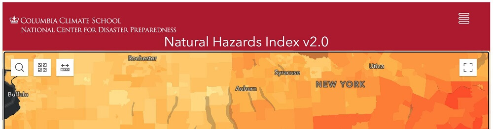
CIESIN helped with the GIS analysis for a new mapping tool, the U.S. Natural Hazards Index (NHI), from the National Center for Disaster Preparedness (https://ncdp.columbia.edu/) to examine weather & climate vulnerabilities across the U.S. The U.S. Natural Hazards Index was created to provide households, communities, as well public health and emergency management practitioners an overview of the natural hazards at the US census tract level, and to facilitate the comparison of the presence and degree of each hazard along with a summary index score. This major upgrade (NHI 2.0) to the tool, first released in 2016, displays hazards data for 14 types, for the US and Puerto Rico (where available), at the census tract level.
For more information go to https://ncdp.columbia.edu/library/mapsmapping-projects/us-natural-hazards-index/