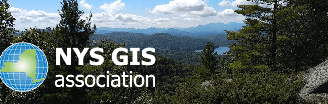
NYS GIS Association News

NYGeoCon 2025 Keynote & Friday Speaker Announced – Register Now!
Meet the NYGeoCon 2025 Featured Speakers – Don’t Miss Out! Dear GIS Community, We are thrilled to announce the Keynote and Friday luncheon speakers for NYGeoCon 2025, happening October 8–10, 2025 in Lake Placid, NY!...

NYS GIS Association 2025 Awards Nominations Are Now Open!
Do you know someone who is passionate about GIS or an individual that has contributed to the betterment of the GIS community here in New York State? Well now's your chance to nominate a colleague or your team to be recognized amongst your NY GIS peers for their...
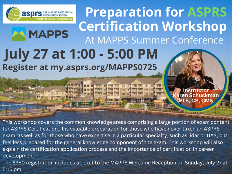
ASPRS Path to certification hosted by MAPPS
Are you looking to receive your UAV, Lidar or Certified Photogrammetry Certification from ASPRS? MAPPS has an exciting opportunity for you!! MAPPS is excited to partner with ASPRS and offer the preparation for ASPRS certification workshop at their summer conference...
NYGeoCon 2025 Abstract Submission Deadline Extended to June 16
We’re excited to announce that the abstract submission deadline for NYGeoCon 2025 has been extended to Sunday, June 16! If you haven’t submitted your abstract yet, there’s still time to be part of this year’s conference, taking place October 8–10 in Lake Placid, NY....
Join the NYS GIS Association Communications Committee – Volunteers Needed!
The NYS GIS Association is seeking enthusiastic and committed volunteers to join our Communications Committee! This is a great opportunity to get more involved with the Association, connect with fellow GIS professionals, and help promote the value of GIS across New...
Registration Now Open for NYGeoCon 2025 – Join Us in Lake Placid!
We are thrilled to announce that registration for NYGeoCon 2025 is now open! Join us from October 8–10, 2025, in beautiful Lake Placid, New York, for the premier GIS conference in the state. Why Attend NYGeoCon 2025? Engaging Sessions: Participate in a variety of...
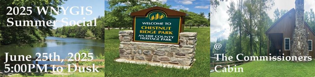
Western NY GIS Users Group Summer Social
The Western NY GIS User Group Summer Social will be held at Chestnut Ridge Park (in Orchard Park) on Wednesday, June 25, 2025, from 5:00 PM to dusk. Register Here
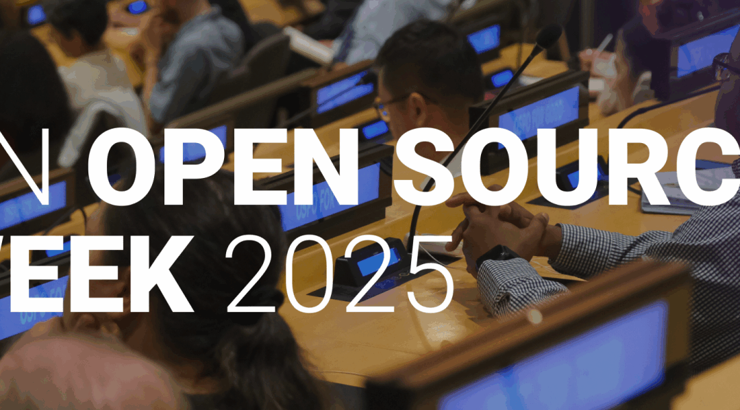
UN Open Source Week Hackathon
The UN Open Source Week invites geospatial data technology enthusiasts, students and professionals to participate on three hackathon challenges aimed at enhancing child-centric disaster preparedness and response through geospatial technology and data analytics....
Spring NEARC Attendee Registration is OPEN
The NEARC Host Committee is happy to announce the opening of registration. The Host Committee and NEARC Board invite you to join them in-person for the Spring NEARC Conference at Eastern Connecticut State University in Willimantic, Connecticut, on May 28, 2025....

Data Access
Recently there have been reports of loss of access to federally-sourced geospatial information. Should you experience a suspension of web services or loss of download access please let us know by emailing us at data.access@nysgis.net, we will attempt to restore...
 Open Source GIS
- Notebooks in QGIS 01/10/2026
- QGIS to (Geo)Pandas – part 3 12/03/2025
- QGIS to (Geo)Pandas follow-up 10/31/2025