
2026 GeoSpatial Summit
2026 GeoSpatial Summit
NYS GIS Association Annual Meeting
Meeting Minutes
NYS GIS Association 2026 DRAFT Annual Meeting Minutes
Available For Review Until Thursday, November 19, 2026
NYS GIS Association Annual Awards Presentations
 Lifetime Achievement Award

This award recognizes outstanding contributions to the profession

Ruth Aslanis
Tompkins Cortland Community College
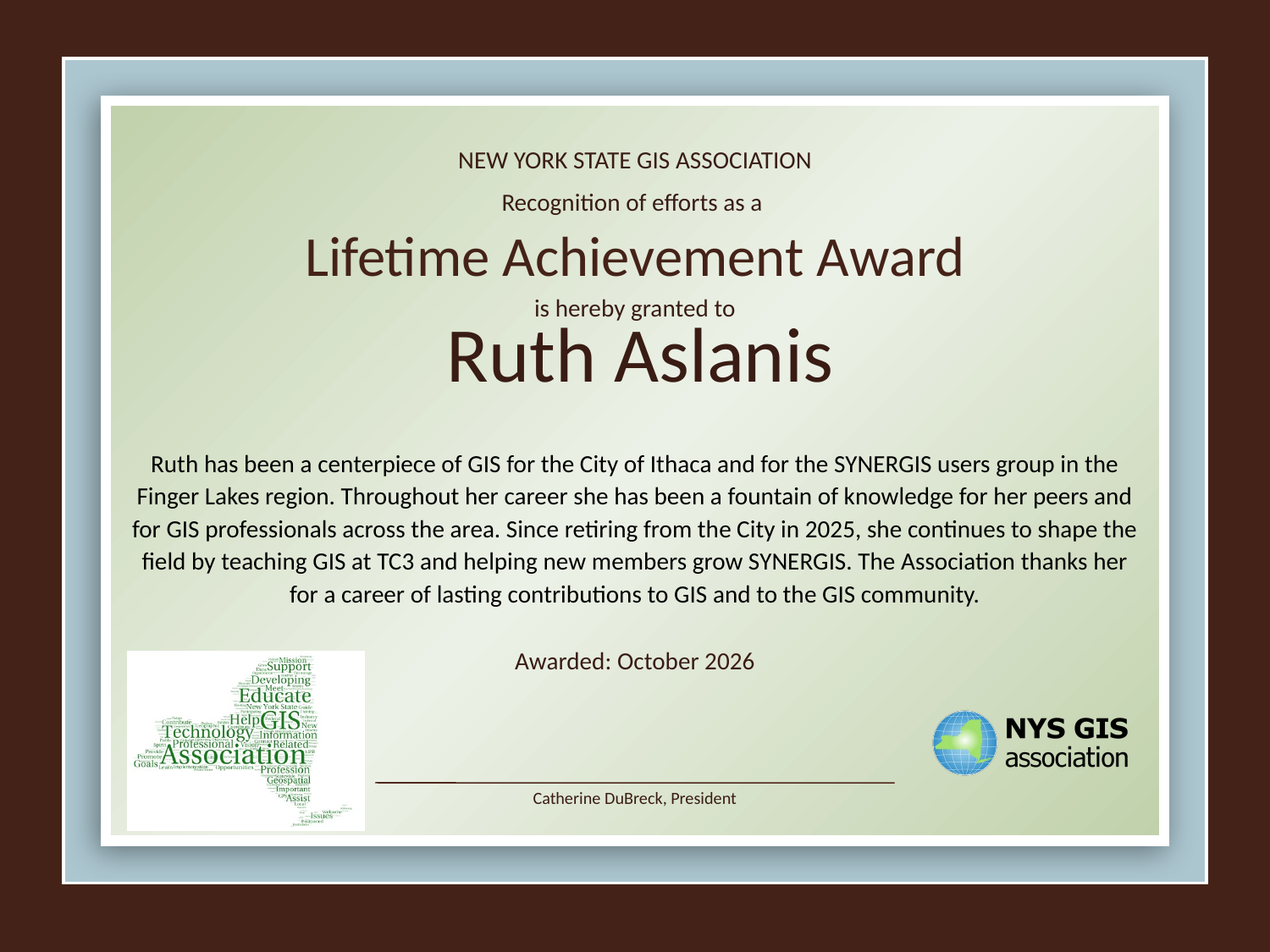
Ruth has been both a center piece for the City of Ithaca and for the SYNERGIS users group here in the finger lakes. With her retiring last year from the city to teach GIS at TC3 and to support the new members of SYNERGIS to grow the users group in our region she is still heavily involved with GIS here in our area.
She has been a fountain of knowledge for her peers and to other GIS professionals here throughout her entire career and continues to do so after retirement.

Robert Dorf
Attorney
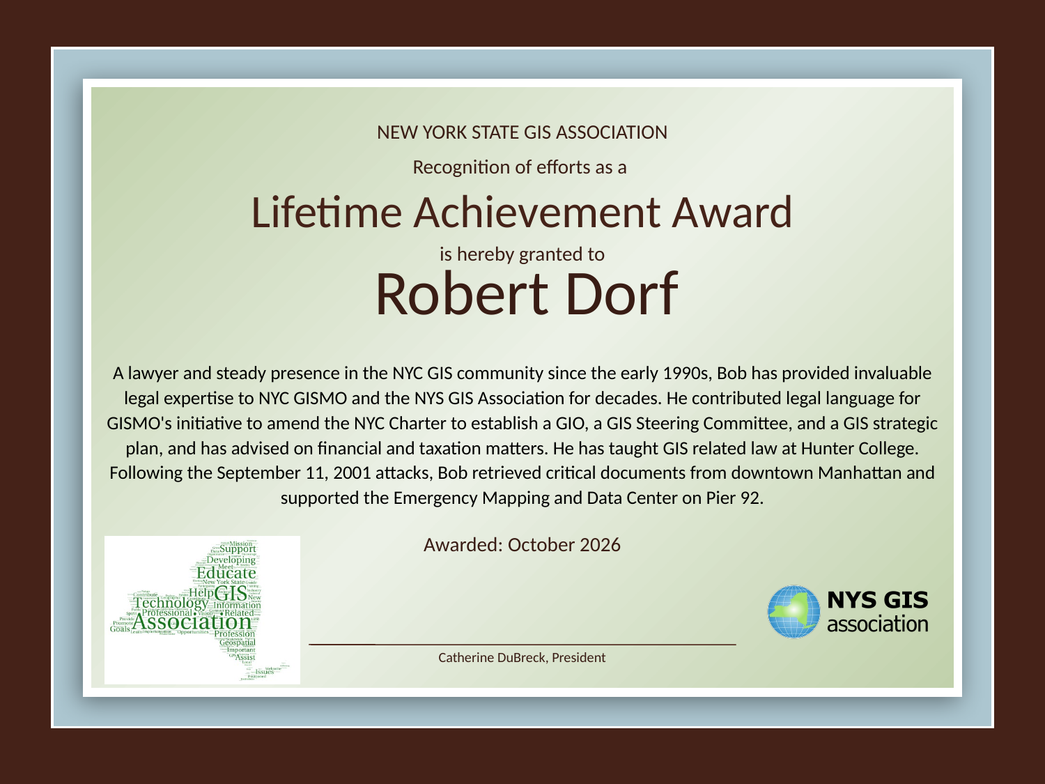
A lawyer and steady presence in the NYC GIS community since the early 1990s, Bob has provided invaluable legal expertise to NYC GISMO and the NYS GIS Association for decades. He contributed legal language for GISMO's initiative to amend the NYC Charter to establish a GIO, a GIS Steering Committee, and a GIS strategic plan, and has advised on financial and taxation matters. He has taught GIS related law at Hunter College.
Following the September 11, 2001 attacks, Bob retrieved critical documents from downtown Manhattan and supported the Emergency Mapping and Data Center on Pier 92.
GIS Champion Award
Recognition is given for exemplary support of the GIS profession and of the value of GIS technology in society.

Eric Best
University at Albany
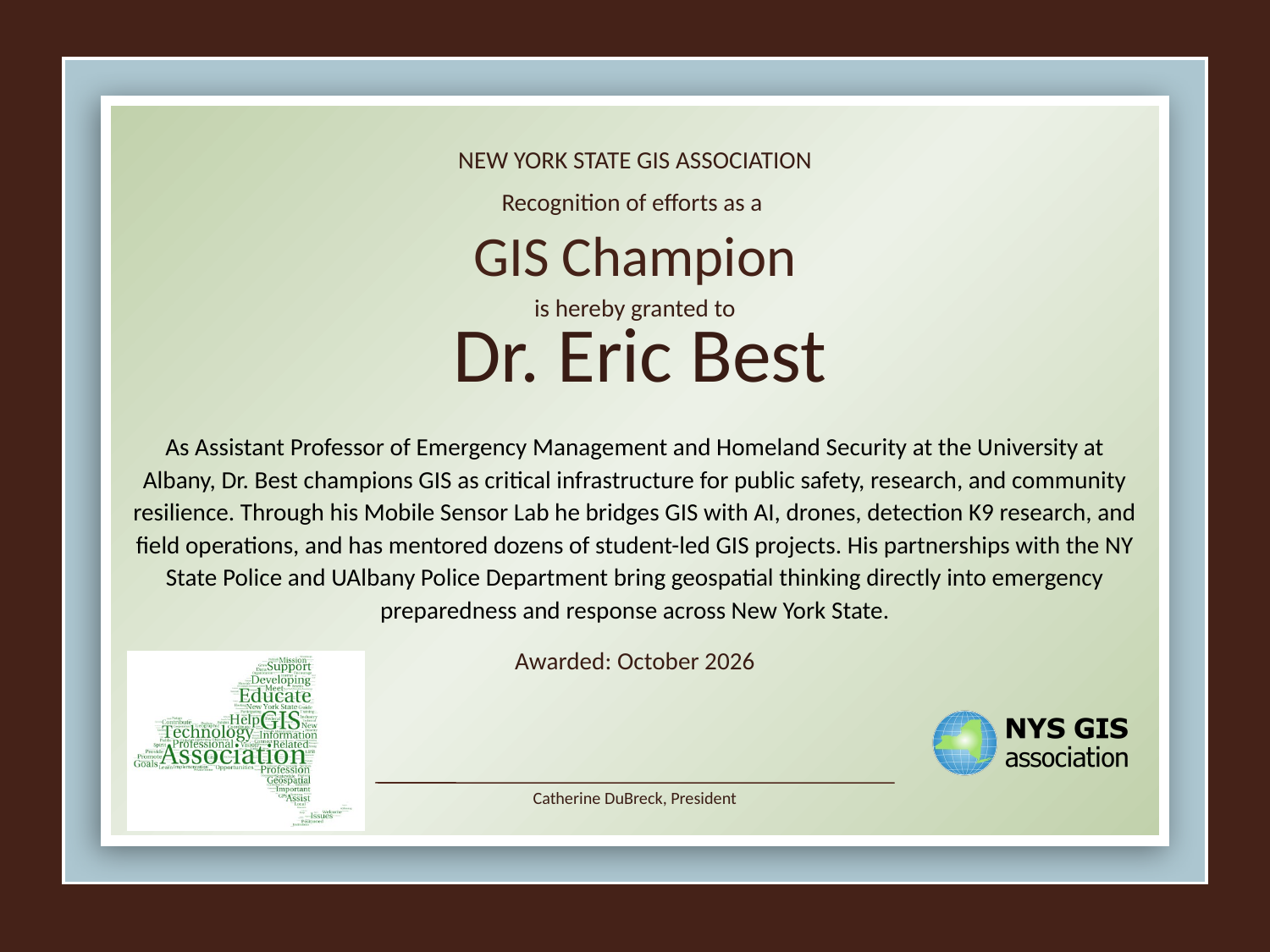
Dr. Eric Best, Assistant Professor in the Department of Emergency Management and Homeland Security at the University at Albany, exemplifies the spirit of a GIS Champion as he actively promotes the value of GIS-enabled decision-making across research, education, and applied public-safety work. As a quantitative social scientist working in emergency management, homeland security, mobile sensing, artificial intelligence, and detection K9 research, Dr. Best has championed the use of GIS and geospatial technologies as tools for solving real-world problems with direct societal relevance.
At UAlbany, he has supported and mentored dozens of student-led projects that use GIS, encouraging students and collaborators to think about how geospatial technologies can improve situational awareness and response. This has helped students from outside traditional GIS pathways understand GIS not as a standalone technical specialty, but as a critical infrastructure for emergency management, public safety, research, and community resilience. He is partnered with the NY State Police and the UAlbany Police Department to help with their emergency preparedness and response exercises, and teaches CEHC 360: Impacts of Unmanned Systems, where students fly drones in the Drone Lab and learn the legal, ethical, and operational impacts of using drones. Through his Mobile Sensor Lab he bridges disciplines, bringing GIS and spatial analysis into conversations about emergency preparedness, homeland security, AI, detection K9s, mobile sensor systems, and field operations. His work at the University at Albany has helped make GIS more visible, more useful, and more connected to urgent public needs in New York State.
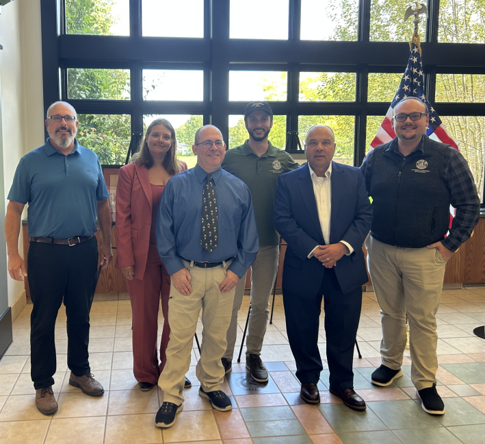
Town of Greece
The Town of Greece, NY has demonstrated an unwavering commitment to advancing GIS as a core component of municipal operations. Through sustained investment in modern GIS technology, infrastructure, and professional development, Town leadership has fostered a culture in which software, paired with GIS, is recognized as a strategic enterprise asset rather than simply a mapping tool. Recognizing the rapidly evolving GIS landscape, Town leadership has supported the modernization of its enterprise GIS environment, including transitioning from legacy ArcMap workflows to ArcGIS Pro and implementing Esri's Utility Network for the Town's sanitary sewer and stormwater systems. These forward-looking investments position the Town to improve asset management, network analysis, data integrity, and long-term operational efficiency.
Beyond software investments, Town leadership has consistently empowered staff to pursue innovation, implement enterprise GIS solutions across departments, and leverage GIS to improve decision-making, infrastructure planning, permitting, public works, emergency response, and citizen services. This continued support demonstrates a clear understanding of the value GIS provides to local government and the community it serves.
GIS Spatial Application Awards
Recognition of impressive and innovative accomplishments across the state.
NYC Rent Stabilized Housing Explorer
The NYC Rent Stabilized Housing Explorer is a publicly available GIS and data resource that provides a searchable, tax lot-level dataset of rent-stabilized housing in New York City. The project brings together reported rent-stabilized unit counts from NYC property tax records and provides a historical timeline from 2008 through 2025. The Explorer allows users to search by address or tax lot and better understand where rent-stabilized housing is located and how reported unit counts have changed over time.

Soydan Alihan Polat
NYU Tandon School of Engineering
Rent stabilization covers a significant portion of New York City's housing stock, but there is no comprehensive official dataset that allows the public to easily look up the number of rent-stabilized units at an individual property and track those units over time. Much of this information is available through individual NYC property tax bills, where unit counts are self-reported by property owners, but these records are not provided as a historical, searchable dataset. Soydan compiled property-level rent stabilization information into a standardized dataset covering 2008 through 2025, organized by Borough-Block-Lot (BBL) and connected to spatial property data to create an interactive, GIS-based Explorer. Users can search individual properties by address or tax lot, view reported rent-stabilized unit counts, and see a historical timeline of how those counts have changed. The dataset and methodology are publicly available so that researchers, planners, nonprofit organizations, government agencies, and community groups can use the information for their own analysis. Built primarily with publicly available data and open-source web mapping and data-processing tools, the project significantly reduces the time and technical effort required to access historical rent stabilization information, and is designed to be updated annually and maintained as a public resource.