Hannibal School District
Robert Jones, Technology Teacher, Carol Burch, Physics Teacher,
and Greg Bailey, Technology Teacher
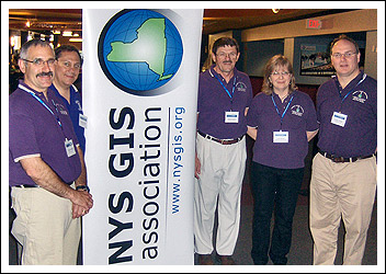
Four teachers and the Superintendent from Hannibal Central Schools attended this year’s New York State GeoSpatial Summit in Schenectady, New York on May 20 2009. Carol Burch, Physics Teacher; Robert Jones, Technology Teacher; Greg Bailey, Technology Teacher; Tom O’Neil, Earth Science Teacher and Mike DiFabio, Superintendent represented the district. The event was targeted for GIS professionals who want to look beyond the technical issues and hear what's really shaping GIS in NYS and around the country.
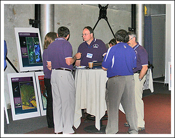
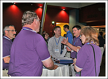
This was a great opportunity to hear the perspectives of top geospatial leaders and to be able to network with other GIS professionals. The organizations and companies represented this year at the GeoSpatial Summit included, Booz Allen Hamilton, Environmental Systems Research Institute (ESRI), U.S. Geological Survey (USGS), Pictometry International, Microsoft and Directions Magazine.
Spatial literacy and Geographic Information Technology is a new approach that the Hannibal School District has been developing over the past three years. One area of study is Geographic Information System (GIS), which is an example that teachers can use with students to apply spatial thinking. This method can easily be applied to any curricular area. Several teachers have been involved in training using mapping software, gps units, Google Earth, and data from around the world to use with Hannibal students.
Mike DiFabio, Superintendent says, "The Geospatial Summit was a great experience for me. It instilled in me a better understanding as to how important it is for our students to have access to and a true understanding of the power of Geospatial knowledge as they compete in the real world."
Robert Jones, Technology Teacher said, "I have the privilege of working with organizations outside the school district. For the past three years Entergy Corporation has provided support through a grant to enable me to conduct geospatial activities in my classroom and supported me in attending the GeoSpatial Summit yearly."
Jones continued to say, "As a classroom teacher attending this conference, it has provided me insights into our complex technological world. It also makes connections from the real world that I can bring to the classroom. I use geospatial technology in the classroom as a way to model the world looking at issues, problems and data. This experience will provide students with a tool to look at broad complex issues in a simple way and make informed decisions in the future."
Tom O’Neil, Earth Science Teacher said, "the best thing about the Geospatial Summit is that we get to hear about the latest developments in the geospatial world from the leaders of the industry. That in itself reignites my interest in bringing geospatial information to our students."
Carol Burch, Physics Teacher said, "The Geospatial Summit is a unique opportunity to hear a diverse group of GIS leaders from across the nation speak about future trends and policy issues in geospatial technology, see how GIS is a powerful tool for environmental conservation, and learn about innovative applications of GIS technology to solve real problems across all fields."
Greg Bailey, Technology Teacher said, "By attending the Geospatial Summit I received a better understanding of how cutting edge this technology is. It was interesting to learn how the federal government is currently working on Geospatial legislation. The information gathered at this conference will definitely help me improve our current GIS curriculum at Kenney Middle School."
Career growth in the geospatial industry is advancing fast. GIS is found in public and private industries, government agencies and educational institutions. There will be many career opportunities for students that choose this field either with a two year or four year degree.